Cover art for Western Australia State Map
Published
Hema Maps, November 2019
ISBN
9321438001553
Format
Sheet Map / Folded

Western Australia State Map 11th edition

3 IN STOCK
Ships Thursday 02nd!
Fast $7.95 flat-rate shipping!
Only pay $7.95 per order within Australia, including end-to-end parcel tracking.
100% encrypted and secure
We adhere to industry best practice and never store credit card details.
Talk to real people
Contact us seven days a week – our staff are here to help.

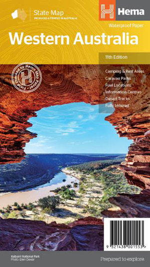
A state touring map of Western Australia featuring camping and rest areas, caravan parks, fuel locations, information centres and desert tracks. On the reverse side of the maps are the CBD and through road maps of Perth, plus inset maps of Leeuwin-Naturaliste National Park, Cape Range National Park, Nambung National Park, Francois Peron National Park, Purnululu National Park, Walpole-Nornalup National Park and Karijini National Park. Also included are national parks within Western Australia.

Related books